
The African Union (AU) has officially backed a campaign to replace the traditional world map used in classrooms and official documents with a version that better reflects Africa’s true size. This initiative challenges the long-standing Mercator projection, a map style dating back to the 16th century, which significantly diminishes the relative scale of equatorial regions like Africa.
Flawed Mercator Projection
For more than 400 years, the Mercator projection has shaped how people imagine the world. Designed for navigation, it inflates land near the poles and diminishes regions along the equator. The Mercator map distorts the size of continents by enlarging land masses farther from the equator while shrinking those near it. As a result, Africa appears disproportionately small, roughly the same size as Greenland, despite actually being about 14 times larger. This inaccurate depiction perpetuates misconceptions about Africa’s geographical significance and its global standing.
Striving For Equal Earth Projection
In support of a more accurate visual representation, the AU aligns with advocacy groups such as Africa No Filter and Speak Up Africa, who are leading the Correct the Map campaign. Their goal is to encourage institutions like the World Bank and the United Nations to officially adopt the 2018 Equal Earth projection—which better preserves the relative area of continents—thus portraying Africa’s true scale more fairly.
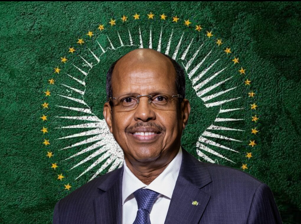
AU Commission deputy chairperson Selma Malika Haddadi described the map as “not just geography but ideology.” In her view, showing Africa as smaller than it is contributes to the perception that the continent is peripheral, a perception that undermines Africa’s claims to resources and representation in international forums. At a time when African leaders are pressing for fairer climate finance and a greater voice in global governance, visibility matters.
The debate touches directly on sustainability and climate action. Africa emits less than 4 percent of global greenhouse gases, yet its communities are among the hardest hit by floods, droughts, and rising temperatures. Advocates argue that a truer picture of Africa’s size highlights its centrality to solving the climate crisis. The continent holds some of the world’s most significant forests, vast potential for solar and wind energy, and a young, growing population driving innovation in adaptation and resilience. When Africa is shown at its real scale, the argument goes, its importance in global climate solutions is harder to ignore.
Confines of Any Flat Map
While the Equal Earth projection presents a more proportionate view of land masses, it’s important to recognize that no flat map can perfectly capture the Earth’s spherical nature. Distortions are inevitable, whether in shape, size, or angles. Nevertheless, the Equal Earth map offers a significant improvement over the Mercator projection in conveying continents’ true size.
Why Map Accuracy Matters Beyond Borders and Geography
Maps do more than guide travelers—they shape how regions are perceived politically and economically. According to Oxford Analytics, inaccurate depictions like the Mercator map contribute to a misunderstanding of Africa’s potential as a market and economic force. By minimizing Africa’s size, the map implicitly downplays the continent’s vast resources, population, and investment opportunities.
Political analyst Jervin Naidoo emphasizes this point, noting that the distorted image of Africa could lead international investors and policymakers to underestimate the economic prospects of the continent. The shift to a more accurate map is not just about cartographic correctness—it aims to challenge and correct a global narrative so that Africa’s true scale is acknowledged, encouraging better informed decisions regarding trade, investment, and development.
Wider Impact of Changing the Map
Changing the world map might not yield immediate tangible economic benefits, but the symbolic power of accurately reflecting Africa’s size carries significant weight. An improved visualization can help dismantle outdated stereotypes and foster a greater appreciation of Africa’s contributions and potential on the global stage.
As the AU supports the Correct the Map campaign, it signals a growing movement among African nations to assert their presence and correct historical biases entrenched in educational tools and international perceptions. Recognizing Africa’s true dimensions is a key step in reshaping the continent’s image and influencing future policy and economic engagement.
Redrawing Perspectives for a Fairer Future
The African Union’s endorsement of the campaign to adopt the Equal Earth projection highlights more than just cartographic accuracy—it represents an effort to recalibrate global awareness and respect for Africa’s scale and significance. By advancing a truer view of the continent’s geography, the initiative helps pave the way for increased recognition of Africa’s role as a vast and dynamic player in the world economy.
Moving toward a new world map projection represents not only improved geographic accuracy but a meaningful shift in international attitudes. This change aims to acknowledge Africa’s true dimensions and potential, influencing how countries and corporations engage with the continent. It symbolizes a step toward restoring respect and equality in global discourse, underscoring that how we visualize the world deeply affects economic and political realities.