
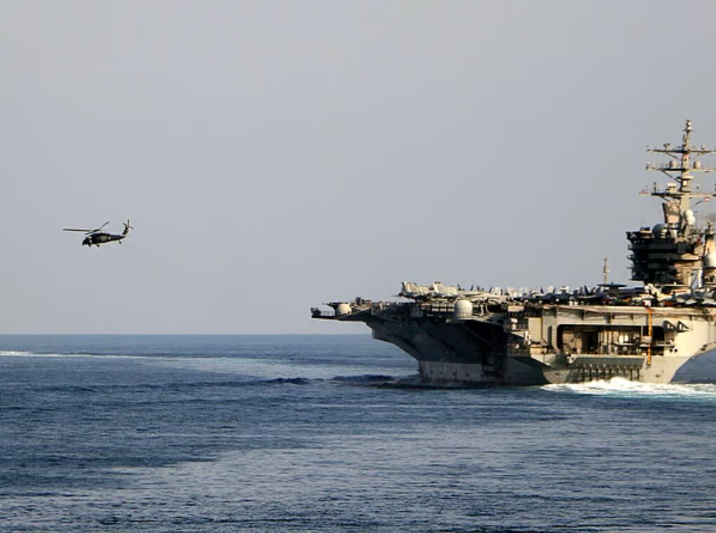
In a startling breach of military security, a routine fitness activity by a French sailor has inadvertently exposed the real-time location of France’s flagship aircraft carrier, the Charles de Gaulle aircraft carrier, at a time of heightened geopolitical tensions in the Middle East.
The incident, first reported by Le Monde, underscores the growing risks posed by everyday digital tools in modern warfare, where even a simple mobile application can compromise highly sensitive military operations.
How a Workout Revealed a Warship’s Location
According to the report, a sailor onboard the Charles de Gaulle logged a 36-minute workout session on the widely used fitness tracking app Strava. The app, which allows users to share geolocated exercise data publicly, inadvertently broadcast the ship’s precise location in the Mediterranean Sea.
The uploaded data pinpointed the carrier’s position northwest of Cyprus, approximately 100 kilometers from the Turkish coastline. What made the situation more serious was that the data was publicly accessible, meaning anyone—from civilians to hostile actors—could potentially track the vessel in near real time.
Open-source analysts and journalists were able to corroborate the information using satellite imagery, confirming the presence of the 262-meter-long nuclear-powered carrier in the same area shortly after the activity was recorded.
Strategic Context: Rising Iran War Tensions
The timing of the exposure has raised alarm bells. France deployed the Charles de Gaulle in early March following escalating hostilities involving Iran, the United States, and Israel.
The region is currently witnessing heightened military activity, with concerns over potential disruptions in critical maritime routes such as the Strait of Hormuz. The deployment of the French carrier was seen as part of a broader effort to maintain a strategic presence and safeguard regional stability.
In such a volatile environment, the unintended disclosure of a high-value military asset’s location could have serious consequences. Aircraft carriers are not just naval vessels—they are floating airbases equipped with fighter jets, surveillance systems, and advanced weaponry, making them prime targets in any conflict scenario.
A Broader Pattern of Digital Security Lapses
This incident is not an isolated case. Investigations revealed that at least one other crew member had also shared geolocated content from onboard the carrier, including photos and activity logs.
Such lapses point to a broader challenge faced by modern militaries: enforcing digital discipline among personnel in an era dominated by smartphones and social media. While armed forces worldwide have strict operational security protocols, the widespread use of personal devices continues to create vulnerabilities.
The issue of fitness apps exposing sensitive locations has surfaced before. In previous years, publicly shared data from apps like Strava has revealed the locations of secret military bases and patrol routes across conflict zones, raising global concerns about data privacy and national security.
Official Response and Security Implications
France’s Armed Forces General Staff acknowledged the breach, stating that the sharing of geolocated activity from an active deployment does not comply with established operational security guidelines. Authorities have indicated that appropriate corrective measures will be implemented.
However, the incident highlights a critical gap between policy and practice. Even with strict rules in place, human behavior and the convenience of digital platforms can undermine security frameworks.
Experts warn that in today’s interconnected world, data has become a new battleground. Seemingly harmless actions—such as sharing a jogging route—can be aggregated and analyzed to reveal sensitive patterns, movements, and locations.
The New Face of Modern Warfare
The exposure of the Charles de Gaulle’s location serves as a stark reminder of how warfare is evolving. Beyond traditional weapons and tactics, digital footprints are emerging as a significant vulnerability.
As militaries increasingly rely on technology, the risk of accidental data leaks grows. From GPS-enabled apps to social media posts, the lines between civilian and military digital behavior are becoming blurred.
In high-stakes environments like the ongoing tensions involving Iran, even minor lapses can carry disproportionate risks.
The Strava incident involving the Charles de Gaulle is more than just an embarrassing mistake—it is a warning signal for armed forces worldwide. It highlights the urgent need for stricter enforcement of digital security protocols and greater awareness among personnel about the risks posed by everyday technology.
As global conflicts become more complex and interconnected, safeguarding information—both online and offline—will be as critical as deploying troops and hardware.
Because in modern warfare, a single data point can reveal what even the most advanced defense systems try to hide.